Flitemapper project artwork
Client
Fliteline
Role
Product Design, UI Design, Development
With
Neptune Digital

Flitemapper

Introduction / The Challenge

Plan an air charter route before making the enquiry.

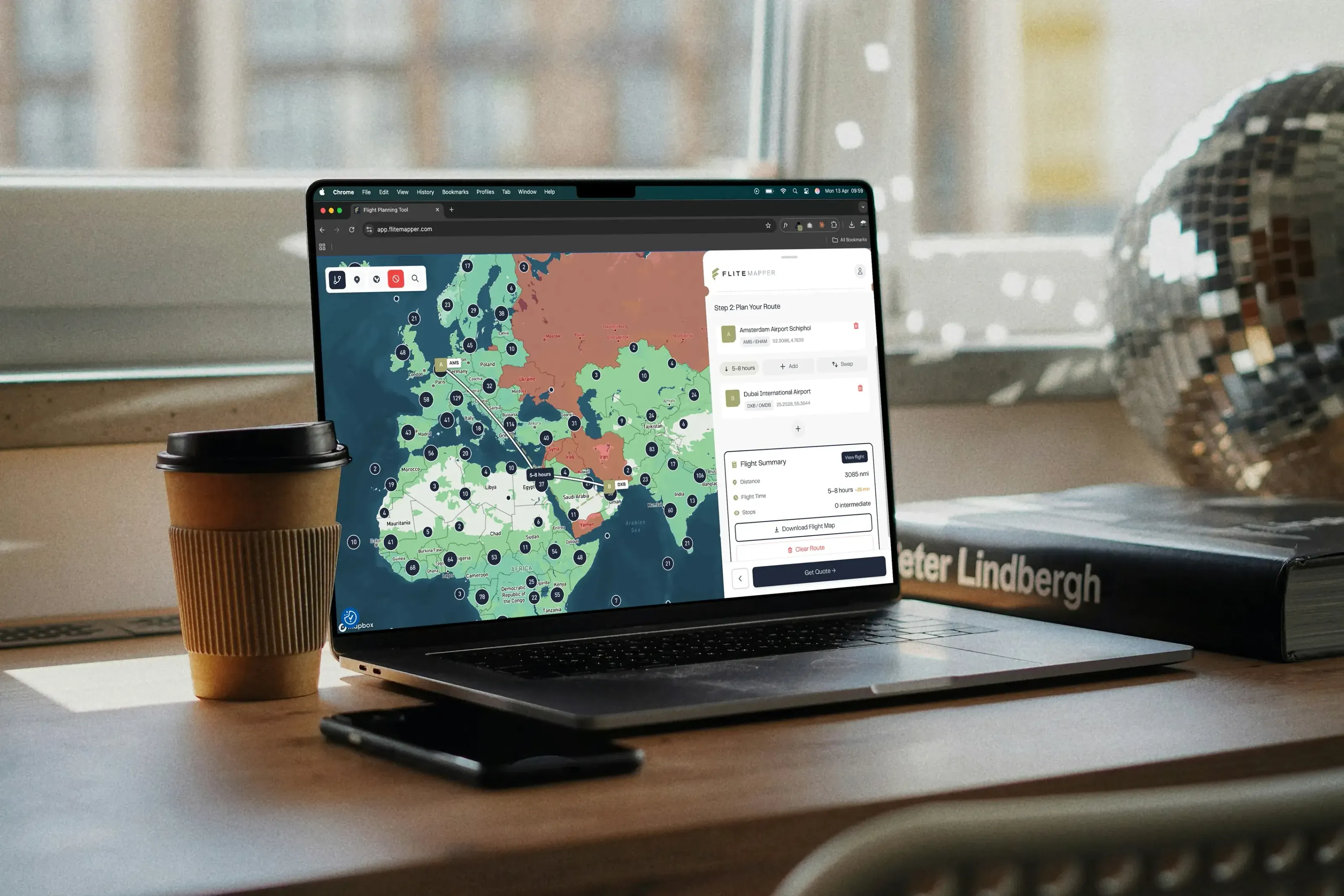
Flitemapper is a free route-planning tool built with Fliteline for charter buyers to map multi-leg journeys, estimate flight times and understand fuel stops before speaking to an operator.

Charter enquiries often arrive without enough detail to quote. The challenge was to replace another contact form with something genuinely useful, helping visitors shape a feasible route while giving Fliteline a clearer, better-qualified enquiry.

Launch Flitemapper
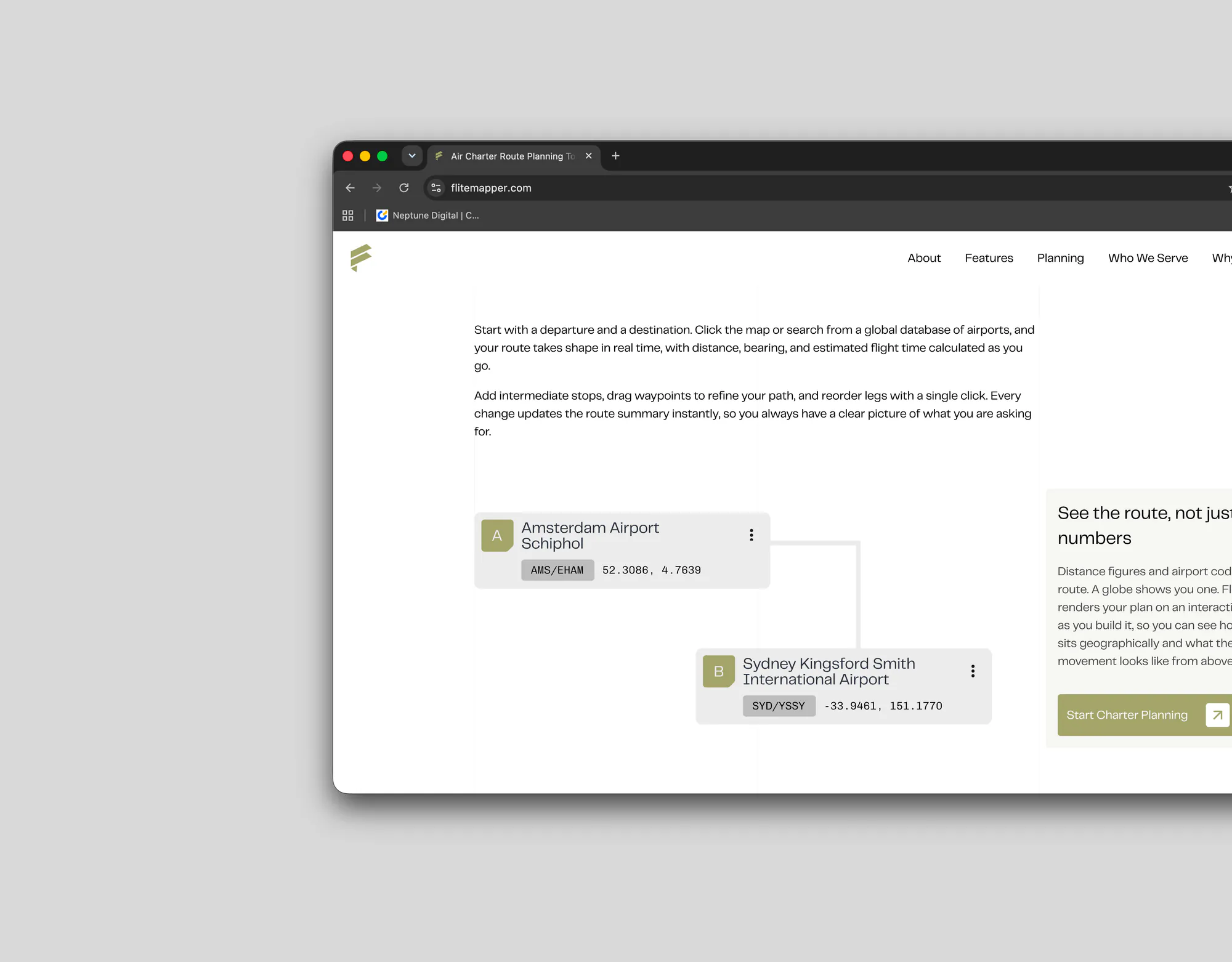
Flitemapper route-planning interface

What It Does

Built for the planning stage rather than the booking desk. Enough accuracy to make real decisions on, without pretending to be certified flight planning software.

  1. 01

    Great circle routing

    The shortest path between two airports is not a straight line on a flat map. Distances and bearings are calculated geodesically and drawn as true great circle arcs, so a long-haul leg curves the way it actually flies rather than the way a flat projection suggests.

  2. 02

    Flat map or 3D globe

    The same route renders either way. The flat map is faster to work in; the globe makes polar and trans-oceanic routings legible in a way no projection can, which matters most on exactly the long legs where the flat map misleads.

  3. 03

    Multi-leg route building

    Search a global airport database by name or ICAO code, or click the map directly. Stops can be added, reordered and removed, with distance, bearing and estimated flight time recalculating across the whole route as it changes.

  4. 04

    Aircraft type and fuel stops

    Selecting an aircraft type puts a real range constraint on the plan. Legs that exceed it are identified and a technical stop is suggested, which is usually the difference between a route that looks fine and a route that flies — and the thing buyers least expect to have to think about.

  5. 05

    No-fly zone awareness

    Routes are checked against restricted and prohibited airspace and flagged where they intersect it. A direct line between two airports frequently isn't available, and knowing that during planning rather than during quoting saves the whole exchange.

  6. 06

    Download your flight map

    The finished plan exports as a clean flight map to circulate internally, or submits directly to Fliteline as an enquiry with the route attached — so the quote starts from a shared picture instead of a description.

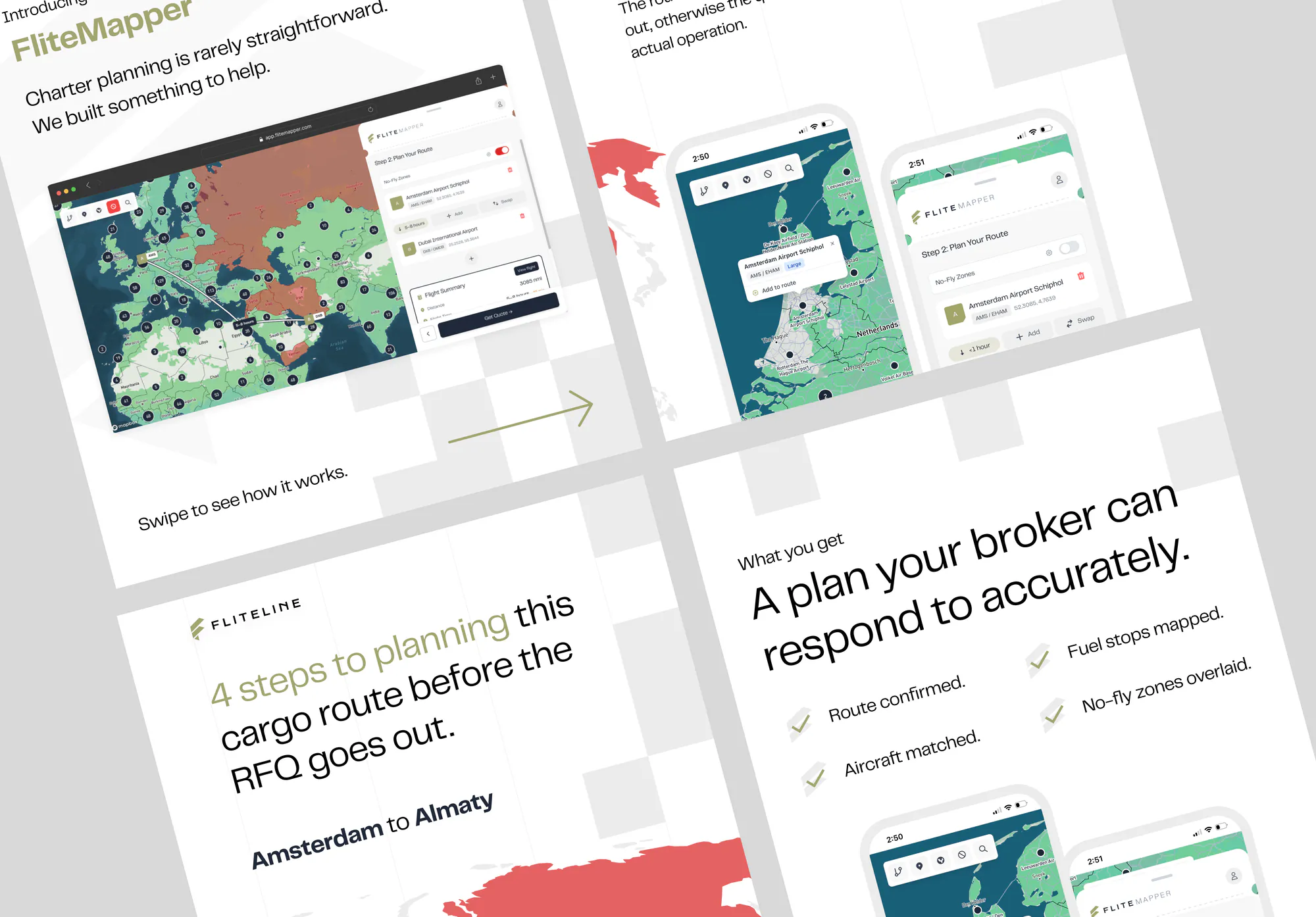
Flitemapper social campaign creative
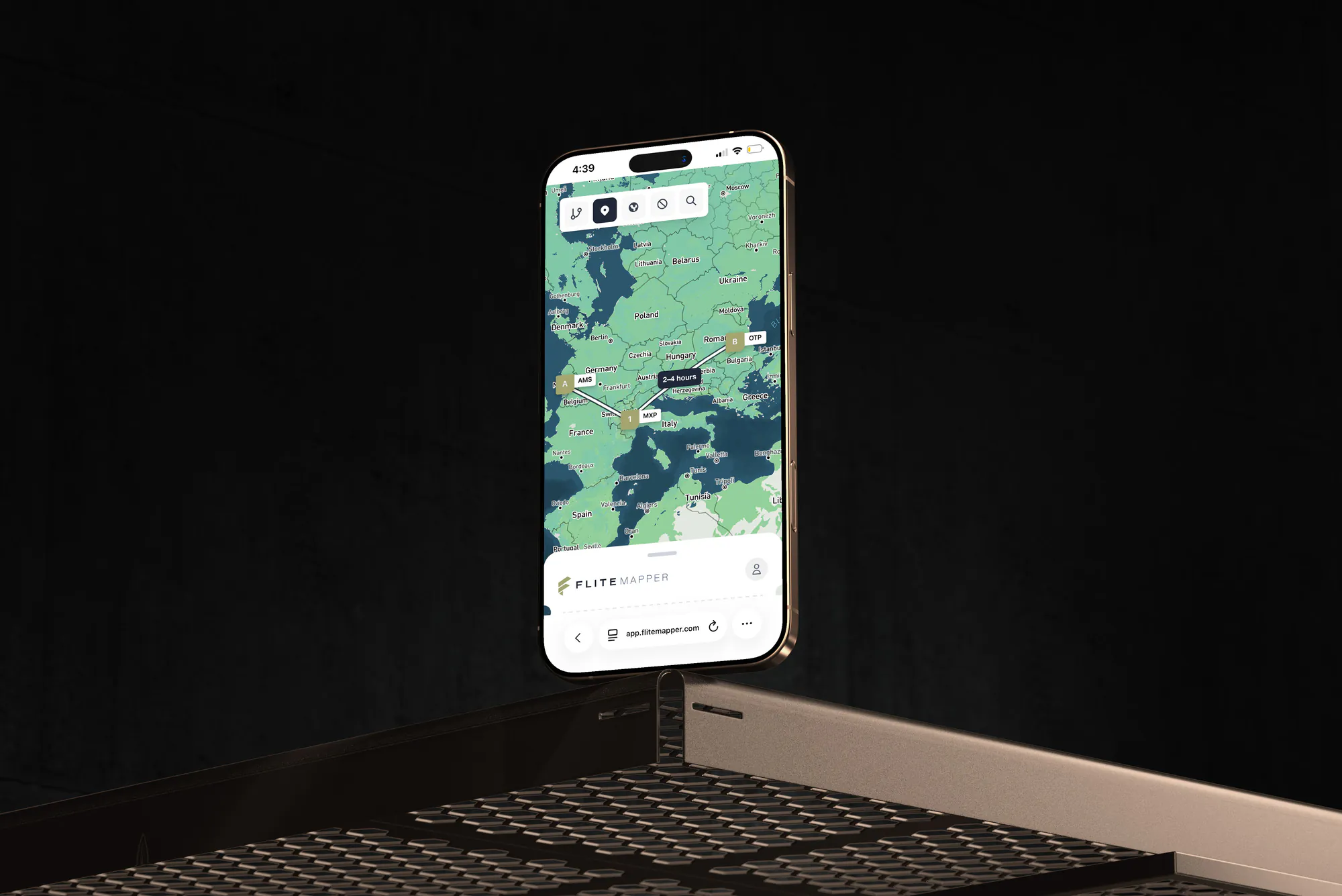
Flitemapper interface detail

Brand & Marketing

Alongside the app I designed and built flitemapper.com, the marketing site that frames it. The positioning does the heavy lifting: "map your air charter route before the enquiry" states the proposition and the audience in one line, and the site is structured around the three-step path a visitor actually takes — search airports, review the summary, download or enquire — rather than around a feature list.

A free tool has to overcome suspicion before it can be used, so the site answers the obvious questions directly. It is free, there is no account, and it is built for planning decisions rather than certified routing. Being explicit about what the tool isn't is what makes the rest credible.

I also produced the marketing creative for the LinkedIn and Google Ads campaigns driving traffic to it. The audiences are distinct — logistics and operations managers, executive assistants and travel managers, event and sports travel coordinators — and each has a different reason to plot a route, so the creative leads with the use case rather than the product.